Description
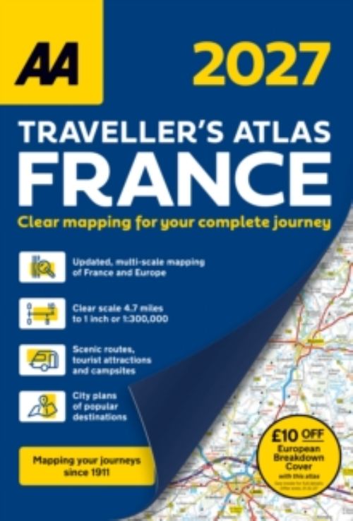
Fully updated for 2027, the AA Traveller’s Atlas France is the essential companion for exploring every corner of France. Part of the AA’s best-selling range, it offers clear, detailed large-scale mapping, combining accuracy, durability, and style to make every journey easier and more enjoyable. What’s Inside Designed for British Drivers: this comprehensive A4 road atlas includes detailed road mapping with clear symbols highlighting key places of interest and essential driving features. Comprehensive France mapping: at a scale of 4.7 miles to 1 inch Detailed city maps: of Paris, Lille and Lyon City & District Maps: 28 detailed city centre plans simplify navigation in busy urban areas, complemented by 6 district maps (environs) covering Brest, Strasbourg, Marseille, Paris, Nice, Monaco, Nîmes, Avignon, and Orange. £10 off AA European Breakdown Cover promotion Versatile Travel Tool: Perfect for both long-distance trips and local exploration, helping you plan routes, uncover hidden gems, and enjoy stress-free driving throughout France. Whether planning a holiday or a road trip, this atlas provides everything you need for a smooth, memorable French adventure.